A game platform for crowdfunding nature conservation
We are on a mission to connect the people who love nature with the people who protect it — combining the joy and escape of video games with the satisfaction of protecting something real.
A cozy exploration game where the map is a 1:1 representation of a real conservation property.
When you walk through the game world, you are walking through a digital representation of the actual property.
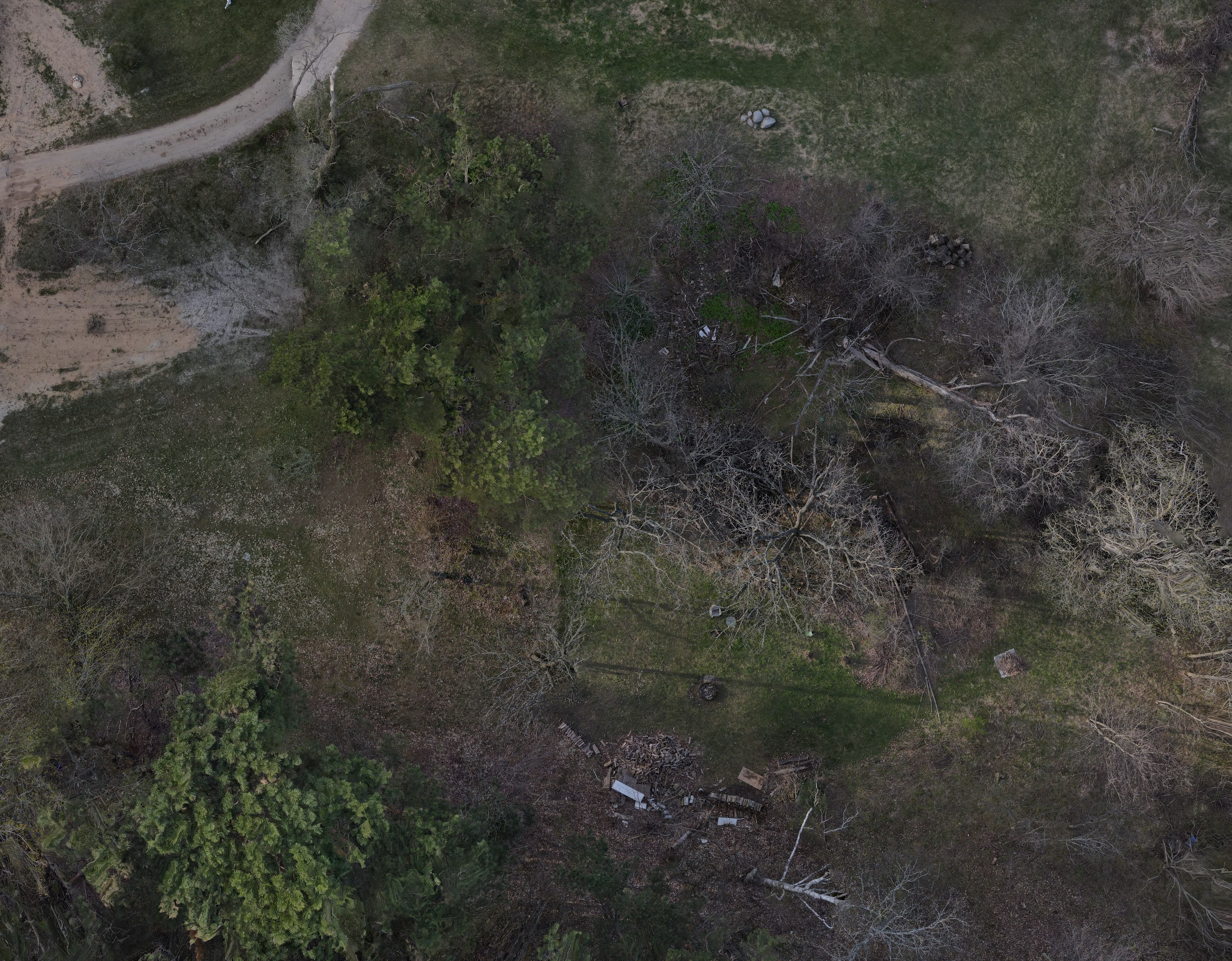
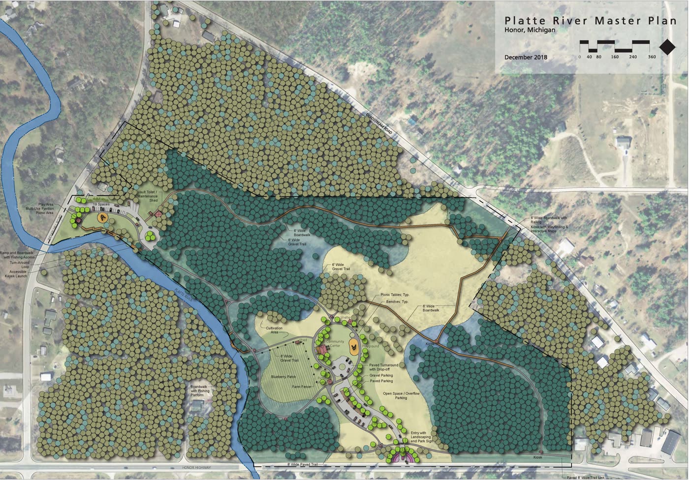
The clip: the aerial photo of Platte River Park turns into the game map, then the founder says hello in game.
A digital nature preserve fed by real cameras.
Everything you see in game is based on a real-world detection from a trail camera, nest box, or iNaturalist observation.
The clip: a skunk on a real trail camera, then a red maple and a white campion collected from real iNaturalist observations.
Sponsor land to help fund conservation work.
Every square on the map represents real space on the property. Sponsor one for a few dollars and it’s yours, with your name on it. The money is shared with the conservation organization that looks after the property and goes toward the work you can watch in the game: pulling invasive plants, planting natives, keeping the trail cameras running.
And with the squares you get Acorns, which are the in-game tokens that you can allocate to sponsoring projects.
Watch videos and live streams of real conservation work.
Get to know the people that do the real work and follow the property's actual stewardship — invasive pulls, plantings, habitat work — as streams and videos from the land itself.
The clip: Jon Throop of the Benzie Conservation District appears in game in a video filmed on the property.
Learn to identify plant and animal species.
The game teaches real identification: work through an interactive ID key — leaf shape, growth habit, field marks. What you learn in the game helps teach identification techniques that you can use when you are actually in the field.
The clip: keying out spotted knapweed step by step with the plant identification key.
Collect everything you see in a digital field journal.
Every species you observe and identify becomes a card in your digital field journal — a shareable, growing record of what lives on the land you sponsor.
The clip: collecting a common jewelweed, then finding its card in the Field Journal.
Meet and interact with the community of players.
Other players are walking the same land — leave a note in the guestbook, wave hello, visit the spaces they've made their own, and help each other identify what the cameras caught.
The clip: walking into the nature center and meeting Nate, the pixel artist who drew the map.
The best part: new real places, all the time.
squarefoot.earth is a platform — each new conservation property plugs in as a new map, like an expansion pack. Our goal is a global network of conservation properties plugged in, so people everywhere can watch, learn, and contribute. We are starting with conservation districts, land trusts, and preserves — a new channel for fundraising, engagement, and education.